
Smart City Platform
Coordinate city monitoring, field events and agency workflows.
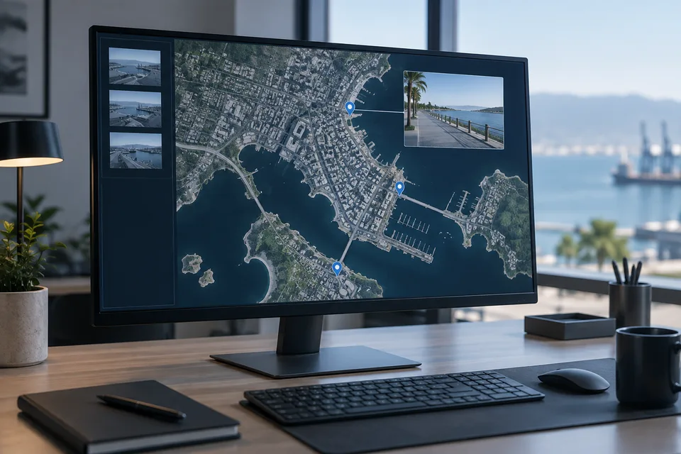
Connect distributed CCTV, LPR, GIS, sensors and command center operations through supported interfaces. Plan public safety and disaster monitoring views around the people responsible for each location and event.
- Site focused
planning - Connected
systems - Ongoing
support

The operational challenge
What the system needs to solve.
Separate sites and agencies often hold different parts of the operational picture. Shared views need reliable connectivity, clear ownership and controlled access rather than unrestricted access to every feed.
Systems & applications
Choose the system around the job.
Explore the equipment and applications we can assess for your project. Your proposal defines the selected products, supported functions and installation scope.
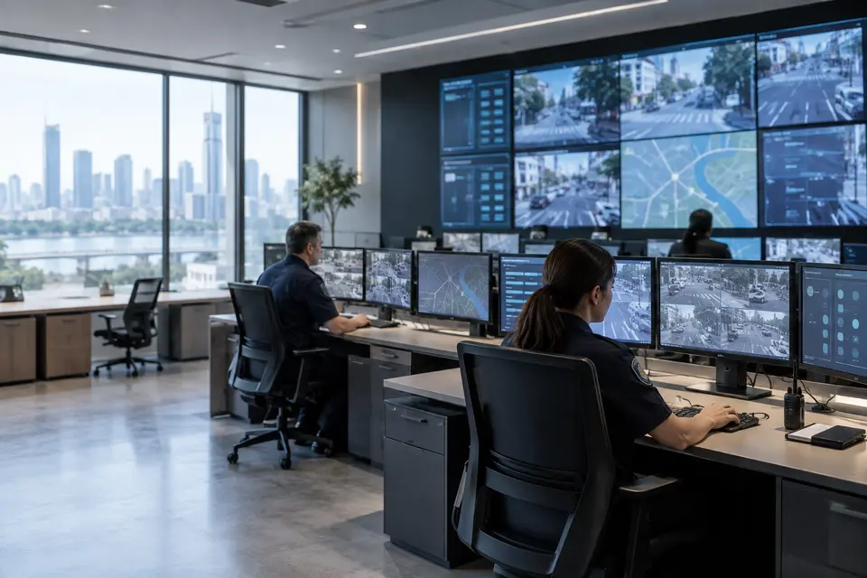
City surveillance and incident coordination
Connect relevant camera views and incident records to a shared operator workspace. Assign ownership, escalation and closure steps for each event category.
- Typical equipment
- VMS connectors, event platform and command workstations
- Where it fits
- LGU command centers and public safety teams
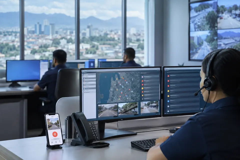
Citizen SOS App
Develop an LGU specific reporting app that lets citizens submit SOS requests, location, photos and videos to the command center. Define acknowledgement, dispatch and status updates with the local team.
- Typical equipment
- Citizen app, media intake and operator case queue
- Where it fits
- Barangays, municipalities and cities
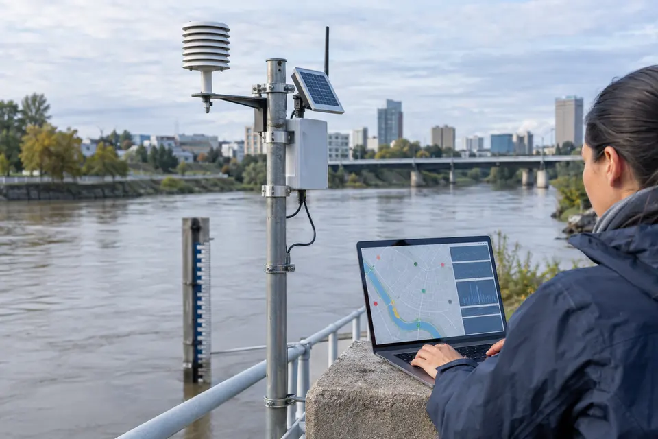
Flood and environmental monitoring
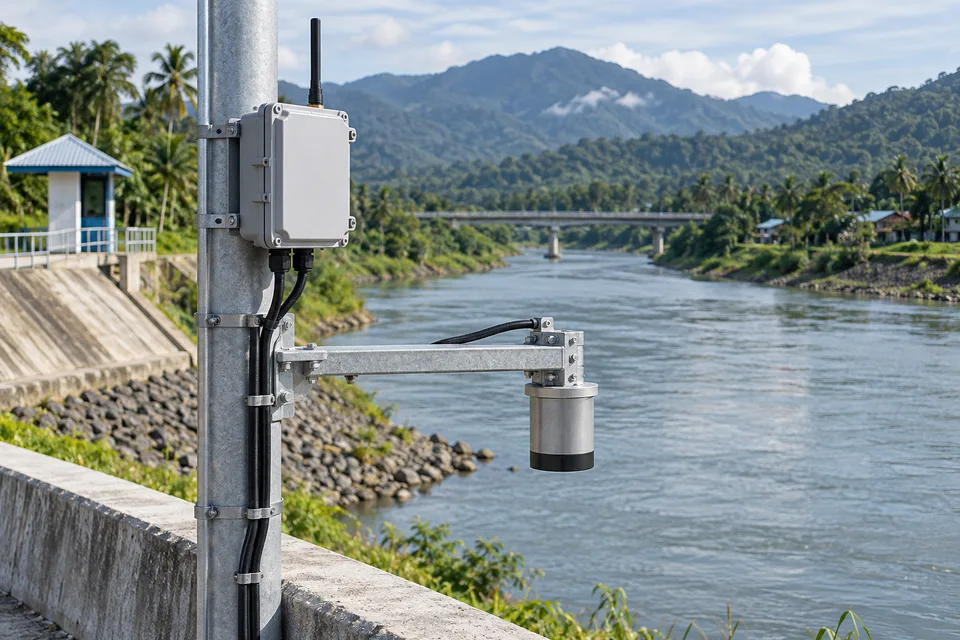
Bring water level, rainfall and other selected sensor readings onto a city map. Show reading age and device health alongside threshold notifications.
- Typical equipment
- Field sensors, gateways, telemetry and GIS
- Where it fits
- Rivers, drainage channels and flood prone areas
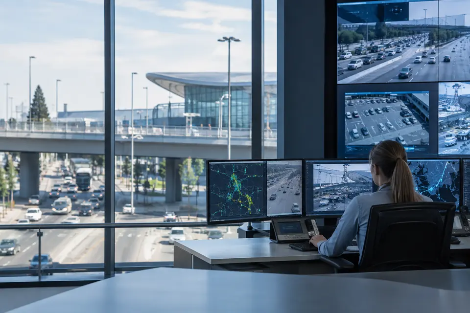
Mobility and public infrastructure
Bring supported traffic events, parking status or connected lighting information into the same operational picture. Choose integrations by department responsibility and confirmed interfaces.
- Typical equipment
- Traffic systems, field controllers and integration services
- Where it fits
- Road networks, terminals and public facilities
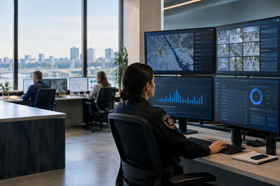
Department dashboards and reporting
Give each team access to the locations, incidents and measurements it needs. Review trends and unresolved cases without exposing every camera or citizen submission to every user.
- Typical equipment
- Role based dashboards, reports and audit trail
- Where it fits
- Public safety, engineering and environment offices
Functions, equipment & operation
Bring city services into one operational picture.
Explore the functions and design options below. The final components, licenses and integration scope are confirmed against your site requirements.
Connected city assets
Organize cameras, sensor gateways, remote sites and command facilities by location and responsible department. Separate device connectivity from the business workflow each service needs.
Shared incident context
Link incoming alerts with maps, video and operator notes. Define incident categories, review priorities and department handoffs before connecting additional data sources.
Citizen participation
Develop an LGU-specific Citizen SOS App for SOS requests and direct photo/video reporting. The dedicated section below describes citizen-to-command-center coordination.
What makes up the system
- Field cameras, sensors and site gateways
- Secure fiber, wireless or cellular connectivity
- VMS, GIS and incident management interfaces
- Command workstations and optional citizen app services
How the project works
- 01Select priority locations and city use cases
- 02Connect agreed data sources and map their assets
- 03Route reports to assigned operators
- 04Coordinate response and record incident outcomes
What we confirm before implementation
- Department ownership and sharing permissions
- Interfaces for existing platforms and field systems
- Connectivity, support coverage and response procedures
Share your current equipment, site layout and operational priorities so the proposal can identify included functions, optional integrations and acceptance criteria.
Citizens connected. Cities informed.
Citizen SOS App
A citizen safety app developed for your city or municipality.
7SCSC can develop a dedicated SOS and incident reporting app for each LGU, tailored to its identity, service areas and response procedures. Connect residents in the field with the municipal command center through an ongoing digital reporting channel.
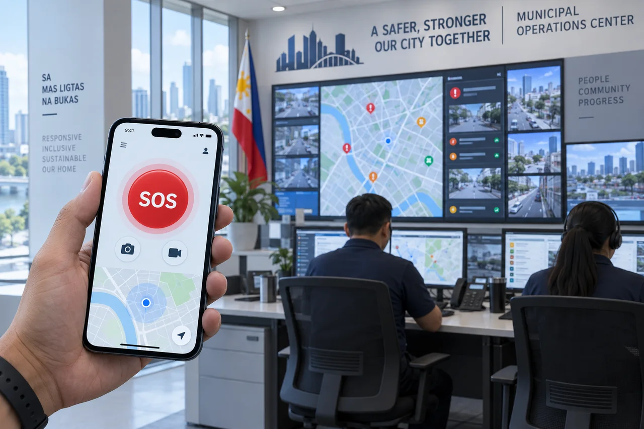
From the scene to the command center.
Residents can send an SOS request and share photos or videos captured at the scene directly with the command center. Operators can review incoming information in context and coordinate the next step through the LGU’s agreed response workflow.
Plan your LGU citizen app ↗Built for each LGU
A dedicated app experience with municipal branding, relevant incident categories and locally defined reporting procedures.
Citizen SOS requests
Give residents a clear way to request assistance and provide incident details for command center review.
Photos & videos from the field
Enable citizens to submit on site photos and videos directly, giving operators additional context beyond fixed cameras.
Ongoing command center connection
Design an ongoing connection between the citizen app and the command platform, with incoming reports routed to the appropriate operator workflow.
One reporting journey. A coordinated response.
- 01Citizen sends an SOS or incident report
- 02Photos, video and incident details reach the command center
- 03Operator reviews and verifies the report
- 04The responsible team receives the incident
- 05Updates and resolution are recorded in the agreed workflow
Configure the app around your municipality
Agree mobile platform support, optional location sharing, report categories, upload limits, operator notifications, citizen status updates and integrations during project design. Define access permissions, media retention and consent for submitted information.
Continuous connectivity is the design objective. Report delivery depends on the device network and system availability; operating hours, escalation arrangements and service levels are agreed with each LGU.
Intelligence for your operation
A.I Smart Functions
Turn connected video and sensor events into actionable insights for city operations.
Explore functions for project planning. Availability depends on the selected equipment, analytics platform and site validation.
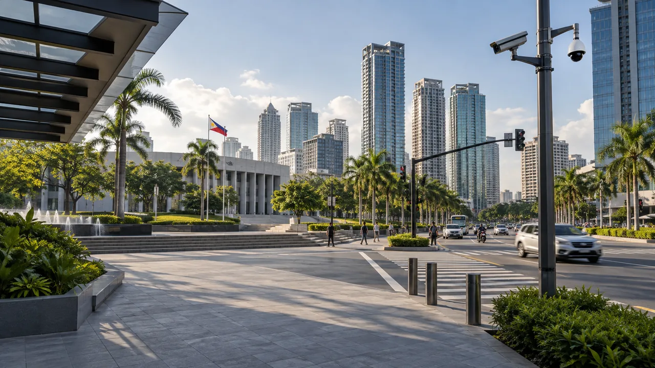
People & Area Monitoring
Understand movement and occupancy across defined spaces.
9 functions · Select up to 12 to discuss with our team
From an event to a coordinated response.
- 01Detect an event
- 02Review video & location
- 03Operator verification
- 04Notify the responsible team
- 05Record the resolution
Proposed workflow: integration, alert routing and response procedures are agreed for each project.
Explore video analytics ↗Connect to a command center ↗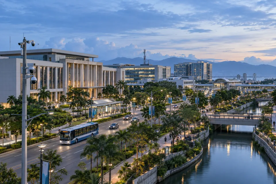
In practice
Where it fits
Plan smart city platform around your environment, equipment and the people who use it.
- LGU monitoring operations
- Public space safety
- Flood and disaster monitoring coordination
Connected systems
for real impact
How it connects
- 01CCTV / LPR / sensors
- 02Secure city network
- 03GIS and platforms
- 04Role based views
- 05Agency response
Technology shaped around your operation
Published scope
Supporting information
Questions about Smart City Platform
Is this a proprietary 7SCSC city operating system?
7SCSC is the systems integrator. Platform selection and integration scope depend on compatible products, available interfaces and the city’s operational requirements.
Do the referenced command centers prove every city integration?
No. The published references document their stated CCTV or command center scope. GIS, LPR and sensor functions must be confirmed for each proposed project.


Project requirements
Discuss Smart City Platform requirements
Include the site location and existing equipment. Use the review points to prepare your inquiry.
Include in your inquiry
- Department ownership and sharing permissions
- Interfaces for existing platforms and field systems
- Connectivity, support coverage and response procedures